Services

MET data and climate analysis
Provision of meteorological and climate analysis or post ad hoc analysis of the meteorological environment.
see details
MET Services
Meteorological services, including warning notices for adverse meteorological conditions or dedicated weather forecast delivery for aeronautical proposes, including siting evaluation based on historical meteorological data.
see details
PAPI, ALS and Visual Aids
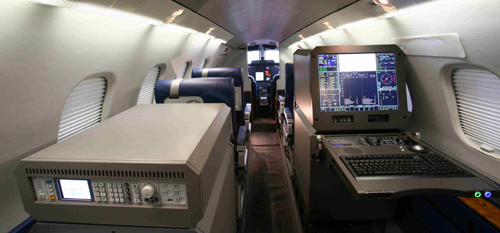
Thanks to four Piaggio P180 AVANTI II aircraft equipped with the NSM UNIFIS 3000 platform and a portable RIFIS system, ENAV can provide flight inspection services for all types of approach lighting systems:
see details
Communication & Surveillance
Thanks to four Piaggio P180 AVANTI II aircraft equipped with the NSM UNIFIS 3000 platform, ENAV can provide flight validation services for communication (UHF, VDF, ATC COM, CPDL) and surveillance (Precision Approach Radar – PAR, Primary Surveillance Radar – PSR, Secondary Surveillance Radar – SSR Mode A/C/S, Surveillance Minimum Altitude Chart Validation, ADS-B) facilities.
see details
Flight Procedures Validation
Thanks to four Piaggio P180 AVANTI II aircraft equipped with the NSM UNIFIS 3000 platform and a portable RIFIS system, ENAV can provide flight validation services for of any type of IFP, precision and non-precision, satellite-based (GNSS/SBAS) or conventional NAVAID:
see details
Flight Inspection
With a Piaggio P180 AVANTI II equipped with the NSM UNIFIS 3000 platform, ENAV can assess the following NAVAIDs:
see details
Pre-Flight Information Service
A dynamic aeronautical information system, which includes an on-call weather briefing service and enables customers (such as pilots or their representatives) to submit their flight plan and self-acquire NOTAMs, AIS/MET information, and the last updated documentation prior to the start of a flight.
see details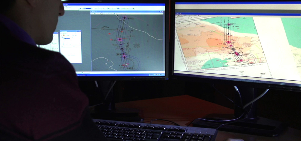
Aeronautical Cartography and Obstacle Maps
The airport charts service involves the production and updating of standard ICAO airport charts in accordance with Annexes 4 and 14 and provides all the material required to publish ICAO charts, such as: aerodrome chart; aircraft parking docking chart; hot spot chart; ground movement chart; and airport safeguarding maps. The activities are performed by high specialized personnel using the latest methods and the most advanced equipment available on the market. Obstacle Charts ICAO Type A/B is a service involving the production from scratch or the updating of aerodrome obstacle charts Type A and Type B. In addition, the production/updating of the PATC (Precision Approach Terrain Chart) is usually part of this activity. The charts are usually produced following an obstacle survey performed by ENAV specialists, although certified data provided by the customer can be used as well. Chart production follows all the rules and specifications provided for by ICAO and local requirements, where applicable.
see details
AIP Italia Management and Delivery
As Italy’s Aeronautical Information Service Provider (AISP), we collect aeronautical information and input from aeronautical data originators, verify and validate aeronautical data, plan AIP amendments, design amendments and their quality control, publish AIP, e-AIP, and provide EAD data.
see details
Wind farm and solar-panel evaluations
With our advanced modelling tools and software, we can support our customer in applications to install wind farms and solar plants, which contribute to environmentally friendly energy programmes.
see details
Electro-Magnetic Compatibility
Electro-magnetic compatibility studies support customers in identifying and evaluating all the aspects needed to ensure the electromagnetic compatibility of a new development project and the implementation of a future operational scenario in the aeronautical field. The impact evaluation is mainly based on the use of simulation systems and permits analysis of visibility; analysis of radioelectric coverage of a single station or an entire network; analysis of radioelectric performance in accordance with the specific device and in compliance with applicable ICAO requirements; and electro-magnetic interference (EMI) analysis. Thanks to the advanced dedicated IT equipment, the output can be provided in document format (Word/PDF) or digital format (KMZ) as maps viewable in Google Earth. Our activity simulates radioelectric performance and operational parameters of radio navigation aids, telecommunications, and radar devices.
see details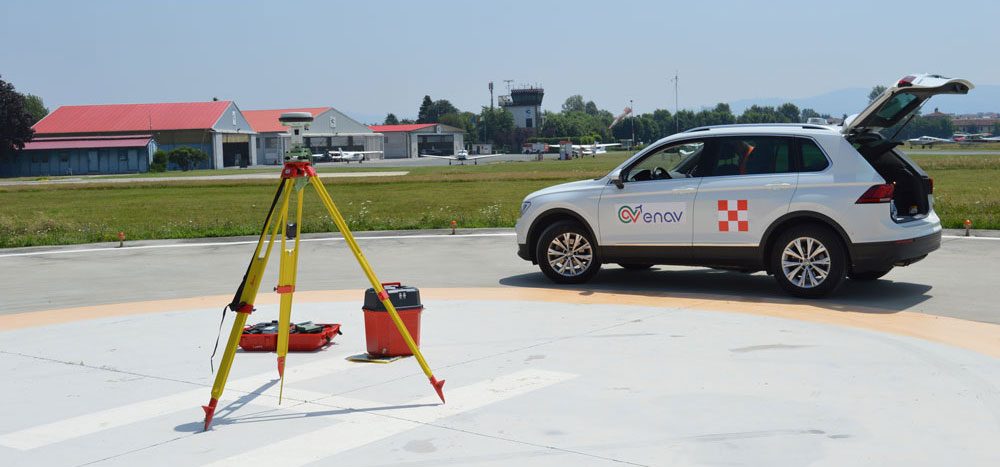
Topographic Survey
Acquisition of geo-topographic data of the significant aerodrome points (THR, RWY END, STAND, holding position, RWY profiles, etc.) and acquisition of geodetic and topographic data of significant obstacles, airport infrastructure and terrain.
see details
Simulation and Performance Measurement
Our Airport & Airspace performance assessment service is focused on evaluating, for specific key performance areas, the pros and cons of new scenarios (i.e., airport layouts, airspace structures, operational procedures or any other element of the ATM system). The service can be performed on a stand-alone basis or as part of broader consulting projects to validate a proposed design.
see details
Integrated Development Plan Evaluation
The MasterPlanning service addresses the preparation of airspace and/or airport development plans with the objective of presenting a vision for the future, with long-range goals and objectives. Depending on the specific context, a master plan will cover
see details
Solutions for helicopter operations and infrastructures
Long term experience in aeronautical domain allows ENAV Group to play an important role in the provision of services and products in the context of rotary wing industry
see details
Airspace Modelling and Route Design
Starting from experience gained in supporting key solutions implemented and/or planned by ENAV (i.e.: the implementation of Italian free route airspace (FRA-IT), the implementation of the so-called trombones and PMS for the main Italian airport approach services, the adoption of a PBN Transition Plan to reduce obsolete AIRNAV equipment and to implement an RNAVGNSS ATS network) and from experience acquired in national and international research projects (i.e.: Galileo, EGNOS and SESAR projects) and in activities performed with our international customers (Malaysian Civil Aviation Authority, EAU, Morocco, etc.) our own experts can support you in modernizing the ATS network and Airspace Structure Design.
see details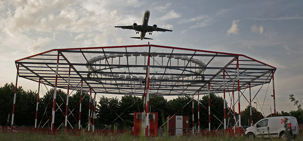
Instrument Flight Procedures Design
Starting from the experience gained in the design, validation and maintenance of more than 1,900 IFPs serving national airports and heliports and acquired in research and development activities (i.e.: the implementation of RNAV/GNSS flight procedures, the development of point-in-space procedures, Blue MED FAB GNSS projects, etc.) our Instrument Flight Procedure Design staff can support you in designing, validating and publishing of all kind of flight procedures: precision and non-precision, conventional and satellite-based procedures, for fixed wind aircraft, helicopters, rotorcraft and VTOL craft.
see detailsProducts
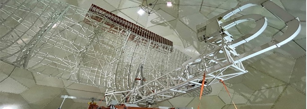
RISE® Radar Indoor System Elevator
Mission:
e-MAPS is a complete suite of products which intends to provide facilities to ATM suites in order to define and manage elements of the ATM geography that are the functional basis of ATC systems

e-ACC ENAV ENR/APP ATM SUITE
ACC Suite contains full features of an Area Control Centre and support ATCOs to supply Air Traffic Control
Services. The systems included in the ACC Suite also allow communication between ATCOs and pilots.
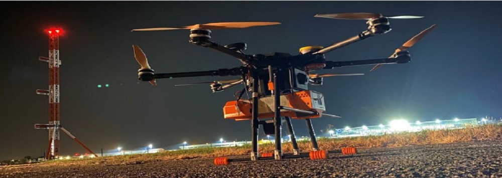
DVI2AM® Drone for VOR and ILS/Infrastructure Advanced Maintenance
The all-in-one UAS solution for Navaids ground-check and more
see details
EDAMS® - Embedded Datalogger for Meteorological Systems
A compact automatic weather station for meteorological observation
see details
e-TWR ENAV ATM TOWER SUITE
Effective situational awareness for Airport Traffic Control
.
see details
ALBIS® Automated Light Bar Inspection System Runway lights inspection system
Runway lights inspection system
see details
e-ATIS - ENAV Automatic Terminal Information Service
The ENAV Automatic Terminal Information Service (e-ATIS) developed by Techno Sky allows automatic transmission of meteorological and aeronautical
see details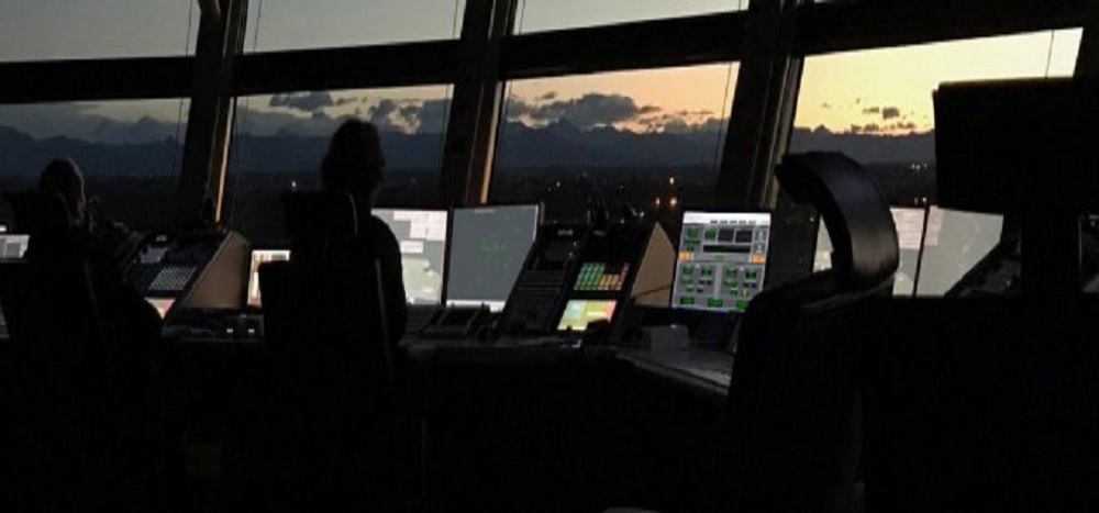
e-AWOS - ENAV Automatic Weather Observation System
Meteorological data always in control
see details
DVI2AM® Drone for VOR and ILS/Infrastructure Advanced Maintenance
The all-in-one UAS solution for Navaids ground-check and more.
see details
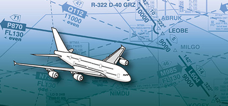
Aeronautical Charting | ICE
Professional aeronautical charting solution, following ICAO rules.
discover more on idsairnav.com
External Data Originators | PLX -
Workflow and task management system for the aeronautical data changes requests management.
discover more on idsairnav.com
Airspace coordination
The tool provides a user-friendly web interface to support the airspace management process to be flexible to changes in airspace users’ needs. The tool enables the coordination among stakeholders and the airspace optimization to enhance capacity and performance.
see details
ATFM/ASM Suite
Web-based system for the Air Traffic Flow Management and airspace capacity analysis and optimization.
discover more on idsairnav.com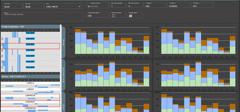
Traffic Complexity Tool (TCT)
TCT provides automatic suggestion for optimized air space configurations increasing air space capacity and improving operational efficiency.
see details
Aeronautical Messages Handling System| UBIMEX
NOTAM messages management solution.
discover more on idsairnav.com
RIFIS Console
Repositionable IFP Flight Inspection System
The RIFIS console is designed to support the in-flight validation phase of PBN procedures (Routes, SID, STAR and Approaches) for rotary wing through a portable solution independent of the type of helicopter used.

GNSS Monitoring| GNOME
GNSS performance and RFI events monitoring system.
discover more on idsairnav.com
CNS performances assessment – satellite and ground based| EMACS
Electromagnetic performances assessment solution for ground and satellite based navaids.
discover more on idsairnav.com
Aeronautical Revenue Management System| A-RMS
Web-based system for the aviation revenues due to airspace use.
discover more on idsairnav.com
E-ATOMS® Air Traffic Operations & Management Simulator
A multi-purpose simulation solution for ATM systems training, validation and testing
see details
TBA3D (360° TWR Simulator)
Control Tower simulator to address airport layout modification and operation impact check.
discover more on idsairnav.com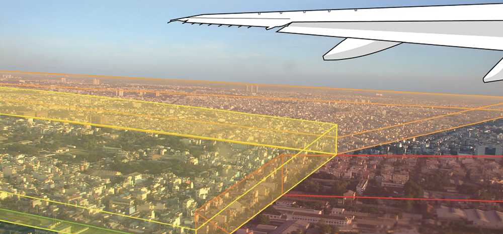
eTOD data management| ETOD
Management system for the import, validation and dissemination of obstacle and terrain data.
discover more on idsairnav.com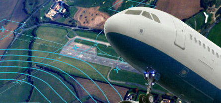
Flight Procedure Design & Management | FPDAM
Solution for aeronautical information management of flight procedure design.
discover more on idsairnav.com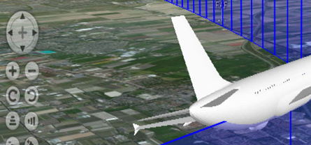
Flight procedure validation| FPSAT
Instrument flight procedure validation solution based on ARINC 424 and aircraft performances.
discover more on idsairnav.com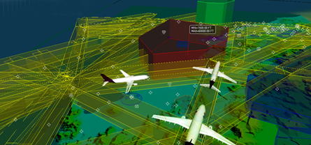
Airspace management| AIRSPACE DESIGNER
Dedicated solution for the design and management of airspace structures.
discover more on idsairnav.com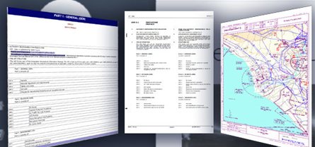
Aeronautical Publication | WePub
Web-based system for the aeronautical publication of AIP / eAIP.
discover more on idsairnav.com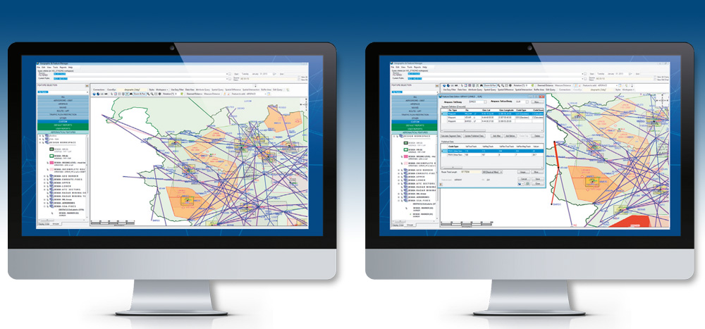
Data Validation | Data Maintenance
Aeronautical data management solutions following AIXM 5.1 standards.
discover more on idsairnav.com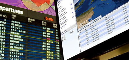
Dynamic Data Management | CRONOS
Web-based system for NOTAM and digital NOTAM management (creation, analysis, dissemination).
discover more on idsairnav.com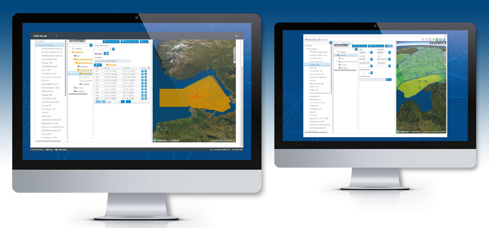
External Data Distribution | Digital Data Distribution
Aeronautical data management solution, based on standard formats such as AIXM 5.1.
discover more on idsairnav.com

