CLODES Clouds Detection Expert System

Mission:
AI is reshaping meteorological information, increasing operational efficiency in real-time scenarios. In this context, Techno Sky has developed an innovative system that supports the chain of acquisition, elaboration and dispatching of meteorological data related to sky conditions.
Operational Scenario:
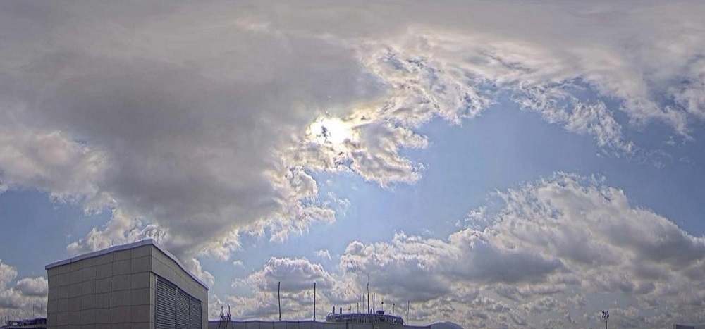
The CLODES® system provides clouds classification and the related coverage estimation. The analysis is carried out on 360° sky images periodically captured by day/night camera. The system is completely autonomous thanks to its A.I. algorithm specialized in automated evaluation of cloud gender and coverage. In neural network evaluation, several environmental data are considered, such as: orography,
moon and sun ephemeris, temperature, humidity, pressure and luminance. The interpretative model has been constantly improved through a learning process based on evaluation provided by Aeronautical Meteorological Observers.
CLODES® is an essential building block as source for AWOS in order to achieve unmanned weather observation in airport environment.
Key benefits:
• Fully automated weather observation tasks: Aeronautical Meteorological Observers workload reduction that reduce human factor influence
• Compact form factor for flexible deployment in limited spaces or existing facilities
• Fully interoperable system thanks to its data collection, storage and distribution
• High accuracy in sky conditions evaluation
Main technical features and overview:
• Special clouds classes recognition: Towering cumulus, Cumulonimbus (CB, TCU)
• Clouds coverage provided in accordance with WMO no.407 and ICAO Standards: from 0 oktas to 8 oktas
• Data can be stored with environmental information in a database for subsequent neural network training refinement
• Observation range up to 16 km and 360° wide sky observation
Facilities for training the AI model:
CLODES® AI model can be trained and refined thanks to a user-friendly HMI developed with the support of Aeronautical Meteorological Observers. Main window shows spherical and cylindric images and the corresponding evaluation generated by the AI interpretative model. Results analysis is performed by the user that have the possibility to display, on the images themselves, multiple ceilometers data and position, ephemerides of sun and moon, as well as compass information. It is also possible to display real-time images, their relative interpretation with the latest data about clouds heights. An immediate comparison can also be carried out between the CLODES® result and the corresponding METAR/METREPORT issued in the corresponding time interval.
Interfaces:
• Ethernet RJ45 Interface with PoE support
Technical Features:
• Dimensions: 200 mm x 200 mm x 180 mm
• Weight: 2 kg • Equipped with Full HD camera @30fps
• 182° Horizontal and Vertical field of view
• Based on CNN/CV Library • Low Power consumption (30W)
• Neural computing open-source based • Data collection in dedicated database
• Observation range: 16 km maximum
• Protection grade: IP66 • Nano-tech protected dome
• Dome brushing (optional) • Dedicated HMI for AI model training
Regulations and Certifications:
• CE certified: › 2014/30/UE (Electromagnetic compatibility) › EN55032 › EN55035 › IP 66 rated (EN60529) › RoHs
• Italian Utility Model Patent Certificate (Registration n. 202022000002860)
• ICAO Annex 3, Doc. 8896, standards
• WMO No 8, No 306, No 731, No 732 Guides
• 2017/373 European regulation
For further information about this product
Fill in the following form
