Services

MET data and climate analysis
Provision of meteorological and climate analysis or post ad hoc analysis of the meteorological environment.
see details
MET Services
Meteorological services, including warning notices for adverse meteorological conditions or dedicated weather forecast delivery for aeronautical proposes, including siting evaluation based on historical meteorological data.
see details
PAPI, ALS and Visual Aids
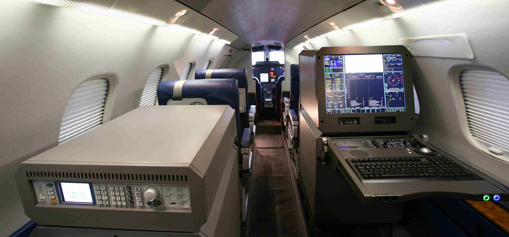
Thanks to four Piaggio P180 AVANTI II aircraft equipped with the NSM UNIFIS 3000 platform and a portable RIFIS system, ENAV can provide flight inspection services for all types of approach lighting systems:
see details
Communication & Surveillance
Thanks to four Piaggio P180 AVANTI II aircraft equipped with the NSM UNIFIS 3000 platform, ENAV can provide flight validation services for communication (UHF, VDF, ATC COM, CPDL) and surveillance (Precision Approach Radar – PAR, Primary Surveillance Radar – PSR, Secondary Surveillance Radar – SSR Mode A/C/S, Surveillance Minimum Altitude Chart Validation, ADS-B) facilities.
see details
Flight Procedures Validation
Thanks to four Piaggio P180 AVANTI II aircraft equipped with the NSM UNIFIS 3000 platform and a portable RIFIS system, ENAV can provide flight validation services for of any type of IFP, precision and non-precision, satellite-based (GNSS/SBAS) or conventional NAVAID:
see details
Flight Inspection
With a Piaggio P180 AVANTI II equipped with the NSM UNIFIS 3000 platform, ENAV can assess the following NAVAIDs:
see details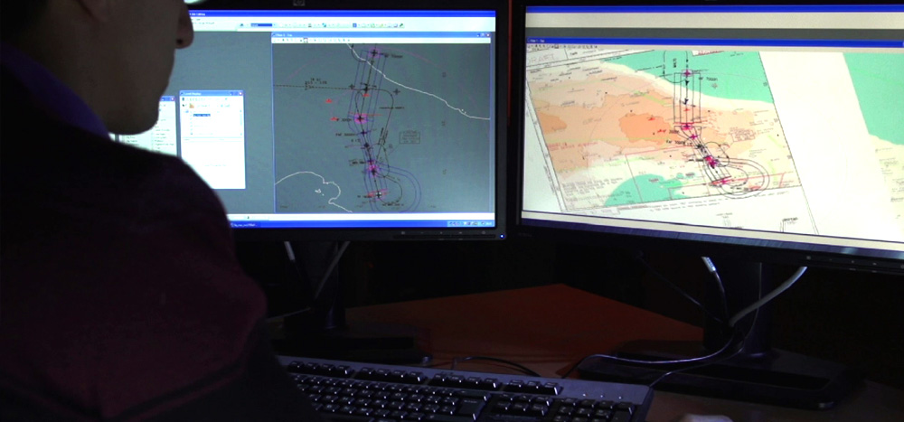
Aeronautical Cartography and Obstacle Maps
The airport charts service involves the production and updating of standard ICAO airport charts in accordance with Annexes 4 and 14 and provides all the material required to publish ICAO charts, such as: aerodrome chart; aircraft parking docking chart; hot spot chart; ground movement chart; and airport safeguarding maps. The activities are performed by high specialized personnel using the latest methods and the most advanced equipment available on the market. Obstacle Charts ICAO Type A/B is a service involving the production from scratch or the updating of aerodrome obstacle charts Type A and Type B. In addition, the production/updating of the PATC (Precision Approach Terrain Chart) is usually part of this activity. The charts are usually produced following an obstacle survey performed by ENAV specialists, although certified data provided by the customer can be used as well. Chart production follows all the rules and specifications provided for by ICAO and local requirements, where applicable.
see details
AIP Italia Management and Delivery
As Italy’s Aeronautical Information Service Provider (AISP), we collect aeronautical information and input from aeronautical data originators, verify and validate aeronautical data, plan AIP amendments, design amendments and their quality control, publish AIP, e-AIP, and provide EAD data.
see details
Wind farm and solar-panel evaluations
With our advanced modelling tools and software, we can support our customer in applications to install wind farms and solar plants, which contribute to environmentally friendly energy programmes.
see details
Electro-Magnetic Compatibility
Electro-magnetic compatibility studies support customers in identifying and evaluating all the aspects needed to ensure the electromagnetic compatibility of a new development project and the implementation of a future operational scenario in the aeronautical field. The impact evaluation is mainly based on the use of simulation systems and permits analysis of visibility; analysis of radioelectric coverage of a single station or an entire network; analysis of radioelectric performance in accordance with the specific device and in compliance with applicable ICAO requirements; and electro-magnetic interference (EMI) analysis. Thanks to the advanced dedicated IT equipment, the output can be provided in document format (Word/PDF) or digital format (KMZ) as maps viewable in Google Earth. Our activity simulates radioelectric performance and operational parameters of radio navigation aids, telecommunications, and radar devices.
see details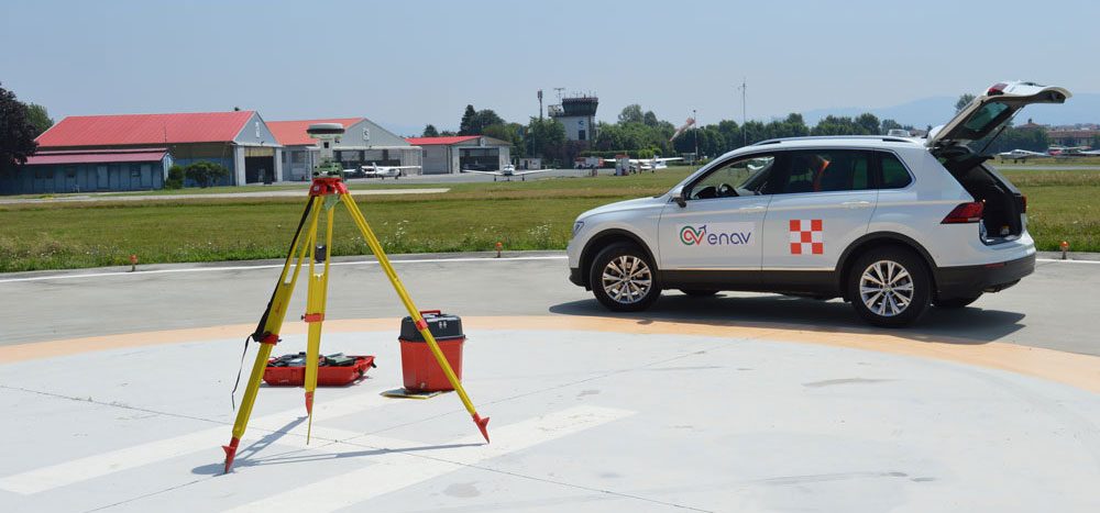
Topographic Survey
Acquisition of geo-topographic data of the significant aerodrome points (THR, RWY END, STAND, holding position, RWY profiles, etc.) and acquisition of geodetic and topographic data of significant obstacles, airport infrastructure and terrain.
see details
Environmental Impact Analysis
Air transport, like all human activities, has an impact on the surrounding environment. The attention paid to these effects has grown considerably in the last decade, mainly with a view to intervening right from the design stage to ensure the sustainability of a business, reducing environmental impact as much as possible. The environmental impact analysis service offers a detailed understanding of environmental performance. This service can be performed on a stand-alone basis or in the context of broader consulting projects to validate the proposed design.
see details
Simulation and Performance Measurement
Our Airport & Airspace performance assessment service is focused on evaluating, for specific key performance areas, the pros and cons of new scenarios (i.e., airport layouts, airspace structures, operational procedures or any other element of the ATM system). The service can be performed on a stand-alone basis or as part of broader consulting projects to validate a proposed design.
see details
Integrated Development Plan Evaluation
The MasterPlanning service addresses the preparation of airspace and/or airport development plans with the objective of presenting a vision for the future, with long-range goals and objectives. Depending on the specific context, a master plan will cover
see details
Enhanced Solutions for Helicopter Operations
We support our customers by providing an overall analysis (operational environment, regulatory framework, etc.) to introduce a PBN network to enable helicopter operations at night or during the day and/or in minimum weather conditions to/from the heliport and area dedicated to helicopter operations, including off-shore platforms.
see details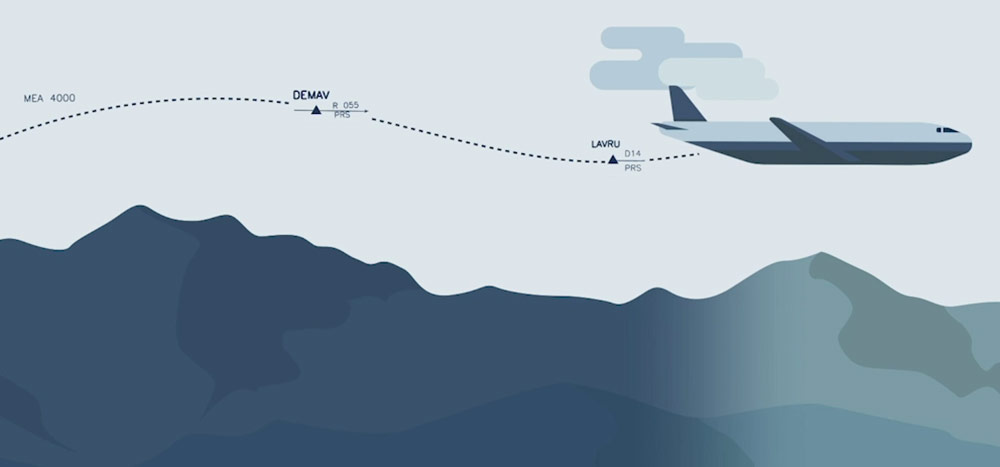
Airspace Modelling and Route Design
Starting from experience gained in supporting key solutions implemented and/or planned by ENAV (i.e.: the implementation of Italian free route airspace (FRA-IT), the implementation of the so-called trombones and PMS for the main Italian airport approach services, the adoption of a PBN Transition Plan to reduce obsolete AIRNAV equipment and to implement an RNAVGNSS ATS network) and from experience acquired in national and international research projects (i.e.: Galileo, EGNOS and SESAR projects) and in activities performed with our international customers (Malaysian Civil Aviation Authority, EAU, Morocco, etc.) our own experts can support you in modernizing the ATS network and Airspace Structure Design.
see details
Instrument Flight Procedures Design
Starting from the experience gained in the design, validation and maintenance of more than 1,900 IFPs serving national airports and heliports and acquired in research and development activities (i.e.: the implementation of RNAV/GNSS flight procedures, the development of point-in-space procedures, Blue MED FAB GNSS projects, etc.) our Instrument Flight Procedure Design staff can support you in designing, validating and publishing of all kind of flight procedures: precision and non-precision, conventional and satellite-based procedures, for fixed wind aircraft, helicopters, rotorcraft and VTOL craft.
see details